The technology
behind better
mining decisions.
From airborne mineral exploration and geological analysis to industrial automation — we turn complex field challenges into informed action.
More than mining.
Built on technology.
SCADA Technology Systems is a mining and industrial technology company focused on solving real challenges across the exploration and operating lifecycle.
We bring together airborne survey methods, geological data interpretation, laboratory science, industrial control systems and field support to help teams move from uncertainty to a clearer plan.
Discover our approach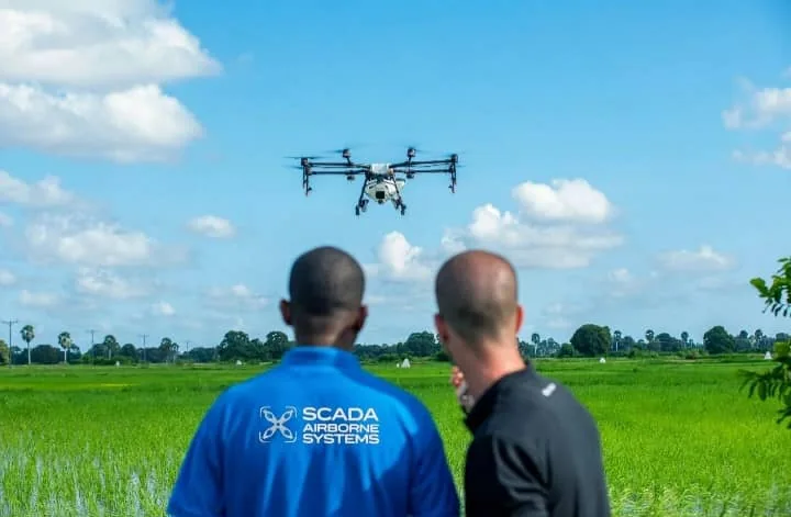
Connected expertise.
Real-world impact.
One technical partner, multiple disciplines — built around the needs of your site and your project.
View all services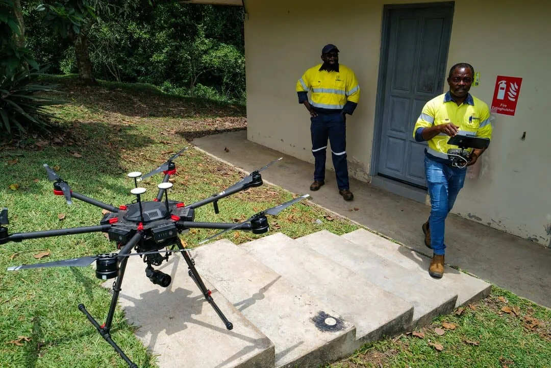
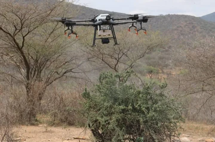
Drone Geophysics & Gold Mapping
Airborne magnetometry, radiometric interpretation and geological target generation to inform smarter exploration decisions.
Explore service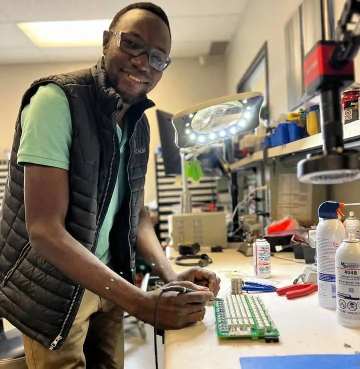
Mining & Industrial Automation
SCADA, PLC, HMI, instrumentation and remote monitoring for mining plants and industrial sites.
Explore service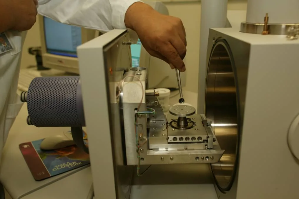
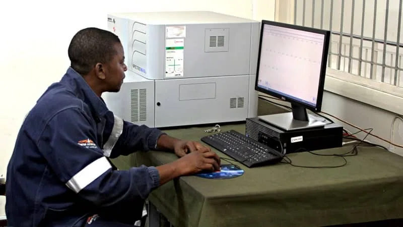
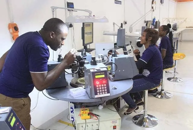
Laboratory & Mineral Testing
Gold assay, sample analysis and mineralogical or metallurgical testing to support informed project decisions.
Explore service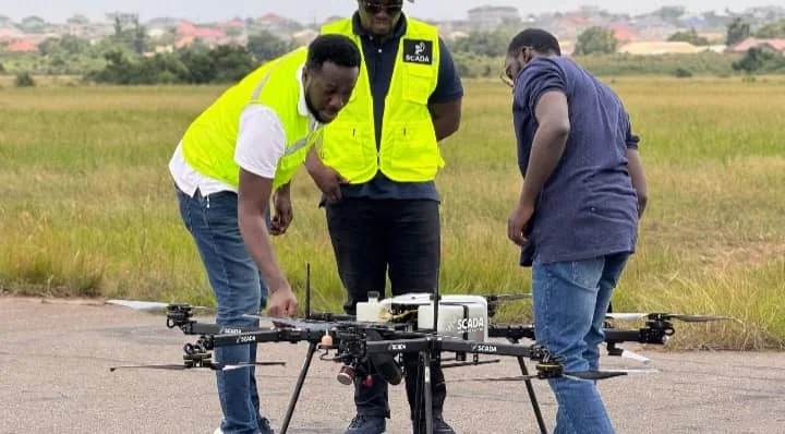
Contract Mining & Mine Management
Practical mining support, mine development, management and project coordination from early stages onward.
Explore service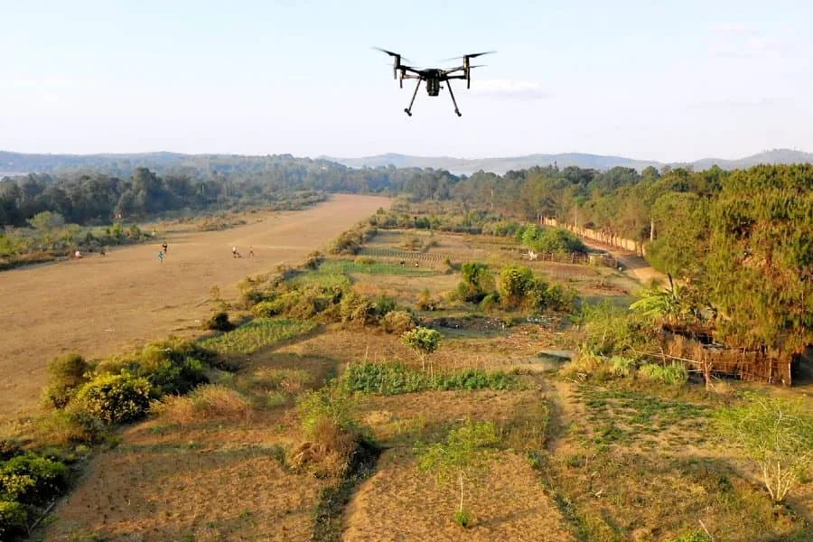
Surveying, Mapping & Reporting
Topographic surveys, mine surveying, volumetric analysis and interpreted geological maps.
Explore service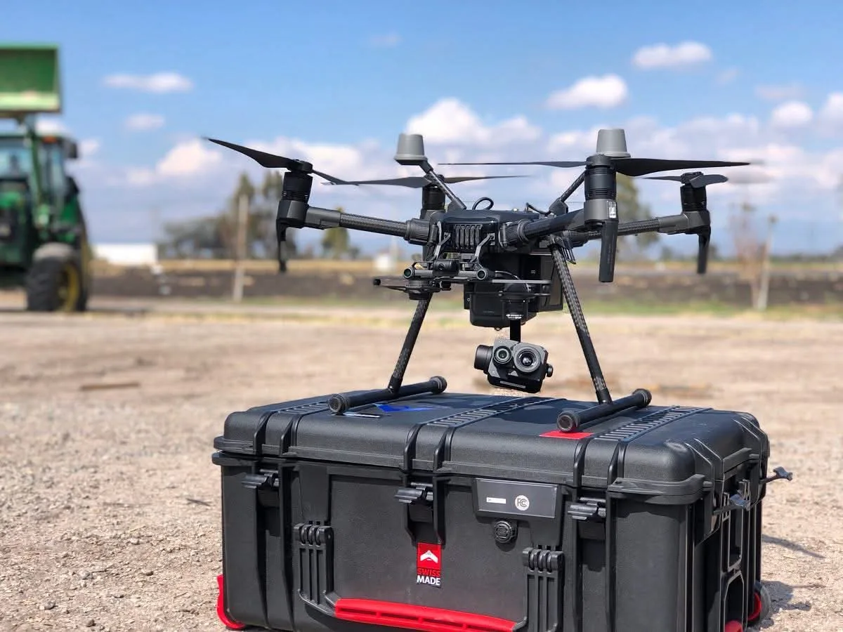
Mining Equipment Sales & Hire
Mining and exploration equipment supply and rental options for site operations and project work.
Explore serviceExplore smarter.
Know where to look.
Our drone-enabled geophysical services help exploration teams investigate geological structures, map anomalies and prioritize areas for follow-up testing — without relying on guesswork alone.
Magnetic, mapping and other sensor-based methods as suited to the project.
Geological context, maps, anomaly analysis and priority zones.
Data products to inform the next stage of field verification.
From the first question
to the next decision.
We align survey, laboratory and engineering work with the decisions your project needs to make.
Define the problem.
Tell us about your claim, plant, process or project. We clarify your objectives, existing data and site conditions.
Gather the evidence.
Plan the relevant airborne, laboratory, surveying or automation work based on the scope agreed.
Make sense of it.
Review observations, process measurements and produce clearly explained findings or engineering recommendations.
Put insight to work.
Use the findings to guide fieldwork, project planning, plant improvements or further testing.
Technology, in action.
Good questions.
Clear answers.
Here are a few important things to understand before choosing a survey or technical service.
Ask us directly01Can a drone tell me exactly where gold is?+
Drone geophysical surveys measure characteristics such as magnetic variations and geological structures. They help identify promising targets, but cannot independently guarantee gold, its grade, its precise depth or commercial viability. Ground sampling and drilling are needed to confirm discoveries.
02What does the 30-hectare mapping package cost?+
The supplied reference quotation lists US$2,794 for an area of up to 30 hectares. Final scope, pricing, survey requirements and delivery timing are confirmed directly for each project.
03What will I receive after a survey?+
Depending on the agreed scope, deliverables may include interpreted magnetic or radiometric maps, structural interpretation, priority areas, a PDF report and Google Earth KMZ files.
04Do you only work in Zimbabwe?+
SCADA is based in Belvedere, Harare and describes operations and project experience in Zimbabwe, Malawi and Zambia, with a wider SADC focus. Contact the team about your specific project location.
Ideas from the field.
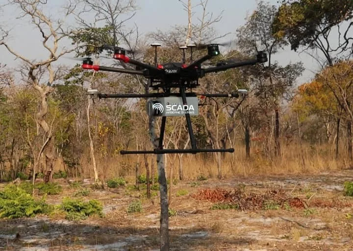
How Drone Magnetometry Supports Gold Exploration
What airborne magnetic surveys reveal, what they cannot prove and how to translate anomalies into a practical fieldwork plan.
Read insightFrom Geophysical Data to Exploration Targets
An overview of mapping, interpretation, verification and reporting in a structured mineral exploration workflow.
Read insightWhy Process Automation Matters in Mining
How monitoring, instrumentation and process-control systems can help mine operators understand and improve their operations.
Read insight