01 / SCADA SERVICES
Drone Geophysics & Gold Mapping
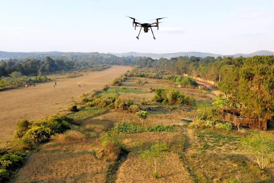
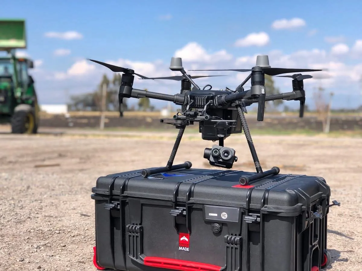
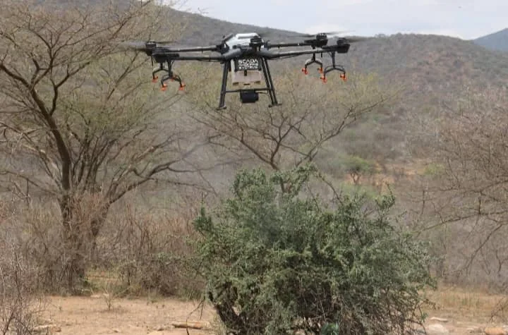
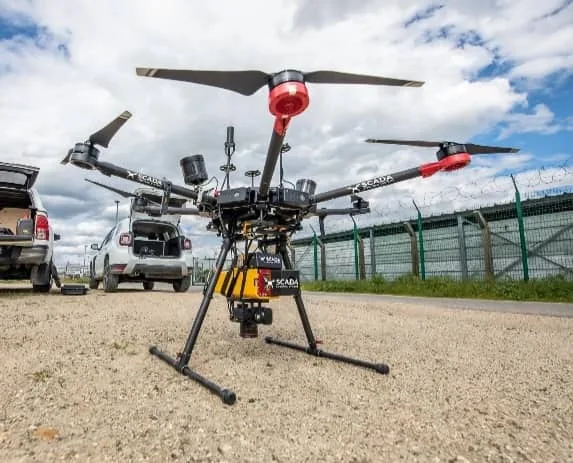
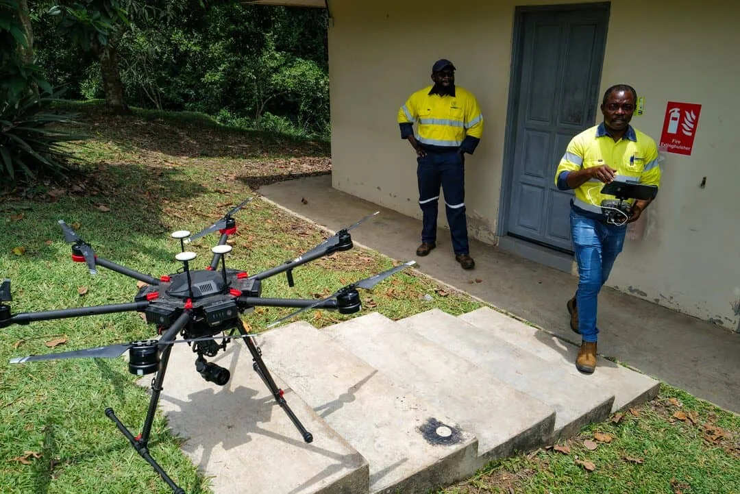
We combine airborne survey planning, geological mapping and data processing to help identify priority zones for field verification. Delivered as interpreted maps, coordinates and practical reporting.
- Drone magnetometry and aerial mapping
- Radiometric data and K/Th interpretation
- Structural and shear-zone mapping
- Priority target recommendations and Google Earth KMZ