01 / Survey design
Clarify claim coordinates, terrain conditions, existing datasets and the questions the survey needs to address.
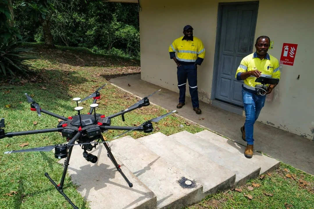
Airborne geophysical surveying and geological analysis for better-informed mineral exploration.
Drone-enabled geophysical surveys can collect detailed observations over prospective terrain while reducing some of the access challenges associated with conventional ground surveys.
SCADA Airborne Systems combines survey methods with geological interpretation to identify structures, anomalies and areas worthy of further investigation. The goal is to help your field team focus its next steps.
Important: geophysical anomalies are indicators, not proof of gold deposits. Sampling, drilling and other ground verification are required to establish mineralisation, grade and economic potential.
Clarify claim coordinates, terrain conditions, existing datasets and the questions the survey needs to address.
Plan geophysical or mapping acquisition methods suited to the scope, including magnetometry and relevant geospatial sensors.
Process geophysical observations and examine magnetic patterns, structural trends and geological relationships.
Prepare mapped findings, priority areas and digital deliverables to guide further work in the field.
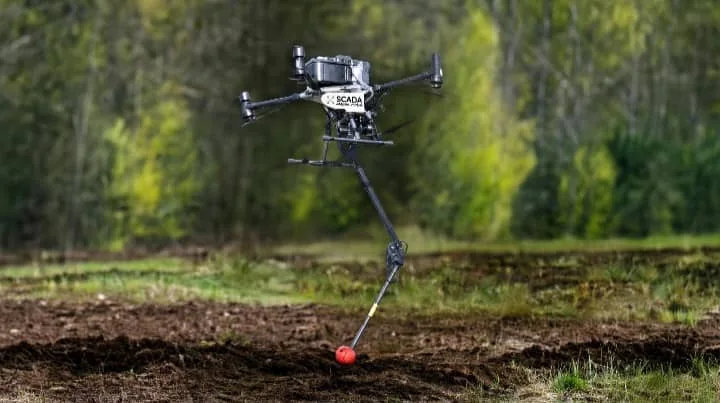
Depending on the agreed project, SCADA can produce practical deliverables for exploration teams and decision-makers.
The following reference is based on SCADA's supplied drone mapping quotation. Confirm terms, site suitability and current availability directly before commissioning.
Pricing and timing are subject to final review of your claim, data availability and agreed deliverables. No mineral discovery is guaranteed.
For projects up to 30 hectares, as described in the supplied quotation.
Drone geophysical surveys measure characteristics such as magnetic variations and geological structures. They help identify promising targets, but cannot independently guarantee gold, its grade, its precise depth or commercial viability. Ground sampling and drilling are needed to confirm discoveries.
The supplied reference quotation lists US$2,794 for an area of up to 30 hectares. Final scope, pricing, survey requirements and delivery timing are confirmed directly for each project.
Depending on the agreed scope, deliverables may include interpreted magnetic or radiometric maps, structural interpretation, priority areas, a PDF report and Google Earth KMZ files.