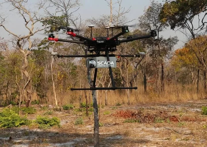
Gold exploration is an exercise in narrowing possibilities. Airborne magnetometry can help locate geological structures that warrant closer examination, especially across large or difficult terrain.
How drone magnetometry works
A drone carrying a magnetometer measures local variations in Earth's magnetic field. Different rock types, structures and mineral assemblages can produce differences in the recorded signal. Survey teams then process these measurements to produce maps of magnetic patterns and boundaries.
Drone surveys can fly planned routes at relatively low altitudes, subject to terrain, safety and local aviation rules. This can yield useful spatial detail over selected areas while reducing some ground-access demands.
What the anomalies can tell you
A magnetic anomaly may highlight a change in rock type, a contact, a fault, an intrusive body or other geological feature. These features can be relevant to exploration, but the magnetic instrument itself does not detect gold directly.
Geologists interpret anomalies alongside known regional geology, field observations, previous sample results, geochemistry and, where relevant, radiometric or other geophysical data. A promising pattern becomes an exploration hypothesis, not a confirmed orebody.
Turning maps into a workable programme
A useful survey process begins with a clear objective and claim boundaries. After acquisition and quality checks, the data is processed and interpreted. Priority areas can then be selected for geological mapping, sampling and drilling as appropriate.
The most valuable result is a defensible next-step plan: where to investigate, what the uncertainty is and what evidence would confirm or disprove a target.
Geophysical results cannot guarantee gold, its grade or a deposit's commercial viability. Confirmation requires physical investigation and appropriate technical evaluation.